RSA Geotechnics was requested by Renewable Energy Systems (RES) Limited to carry out inspections of the formation level of the turbine foundation excavations at the Jack’s Lane Wind Farm site. Six turbines (T1 to T6) were planned at the site and construction of the turbine foundations took place during the summer of 2014.
The inspections were undertaken in accordance with a specification provided by RES. This required that the foundation formation level should be inspected to verify that the design bearing strata had been reached and that it was uniform with no ‘soft’ spots or areas of degradation caused by precipitation or water ingress.
The anticipated formation material for each turbine was provided in the Specification, based on the findings of the ground investigation for the scheme carried out by RSA Geotechnics in 2013, together with a requirement for a minimum undrained shear strength of 100 kN/m2 for the glacial till at turbines T1, T2, T4, T5 and T6, and the presence of structured medium dense Grade B4 Chalk (as defined by CIRIA C574) at turbine T3.
RES also required that plate bearing tests were carried out by the Contractor at formation level in order to check design assumptions, and that the results were made available to RSA Geotechnics Limited for inspection.
The geology at the site comprised superficial glacial deposits (Sheringham Cliffs Formation) overlying chalk bedrock (White Chalk Subgroup). The RSA ground investigation revealed that the glacial material consisted principally of two distinct till lithologies; a chalk-rich till, light brown in colour and an overlying brown sandy till which contained much less chalk. In addition sand and gravel layers were occasionally present within the Sheringham Cliffs Formation. The thickness of the glacial deposits i.e. depth to the top of the Chalk, was somewhat variable across the site and varied between approximately 3 and 25 m. Chalk formed the formation lithology at turbine T3 only.
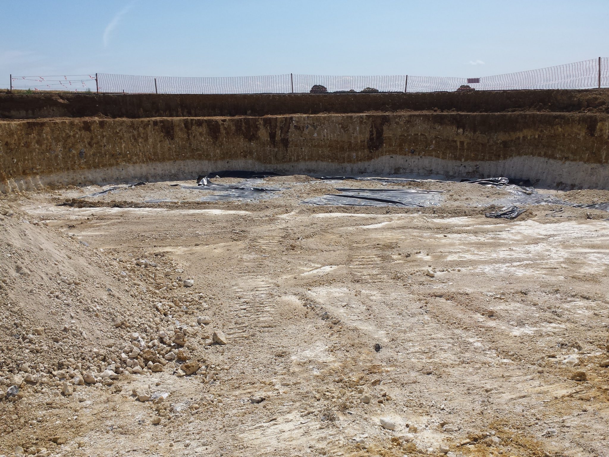
The foundation excavations, which were around 2 to 3 m deep, provided the opportunity to observe the relationship between the various material types in three dimensions. In the T3 excavation the undulating erosional contact between the Chalk and overlying chalk-rich till could be seen. In all of excavations, the boundary between the upper brown sandy till and underlying chalk-rich till was undulating and in places the brown till protruded into the lower chalk-rich till material in a ‘V’ shape possibly representative of periglacial ice wedge features. These features can be seen been in the photographs below of the T3 excavation.